%20ammap.com%20%7C%20SVG%20map%20of%20Samoa%20-%20High%20--%3E%0A%3Csvg%20xmlns%3D%22http%3A%2F%2Fwww.w3.org%2F2000%2Fsvg%22%20xmlns%3Aamcharts%3D%22http%3A%2F%2Famcharts.com%2Fammap%22%20xmlns%3Axlink%3D%22http%3A%2F%2Fwww.w3.org%2F1999%2Fxlink%22%20version%3D%221.1%22%20viewBox%3D%220%200%20820%201250%22%20width%3D%22100%25%22%20height%3D%22100%25%22%20preserveAspectRatio%3D%22xMidYMid%20slice%22%3E%0A%09%3Cdefs%3E%0A%09%09%0A%0A%09%09%3Camcharts%3Aammap%20projection%3D%22mercator%22%20leftLongitude%3D%22-172.804267%22%20topLatitude%3D%22-13.439725%22%20rightLongitude%3D%22-171.397526%22%20bottomLatitude%3D%22-14.077361%22%3E%3C%2Famcharts%3Aammap%3E%0A%0A%09%09%3C!--%20All%20areas%20are%20listed%20in%20the%20line%20below.%20You%20can%20use%20this%20list%20in%20your%20script.%20--%3E%0A%09%09%3C!--%7Bid%3A%22WS-AA%22%7D%2C%7Bid%3A%22WS-AL%22%7D%2C%7Bid%3A%22WS-AT%22%7D%2C%7Bid%3A%22WS-FA%22%7D%2C%7Bid%3A%22WS-GE%22%7D%2C%7Bid%3A%22WS-GI%22%7D%2C%7Bid%3A%22WS-PA%22%7D%2C%7Bid%3A%22WS-SA%22%7D%2C%7Bid%3A%22WS-TU%22%7D%2C%7Bid%3A%22WS-VF%22%7D%2C%7Bid%3A%22WS-VS%22%7D--%3E%0A%0A%09%3C%2Fdefs%3E%0A%09%3Cg%3E%0A%09%09%3Cpath%20fill%3D%22white%22%20stroke%3D%22none%22%20id%3D%22WS-AA%22%20title%3D%22A'ana%22%20%20d%3D%22M397.884%2C716.04l-6.212%2C20.142l-2.173%2C-0.152l-2.164%2C1.387l-1.368%2C1.896l-0.956%2C2.587l-0.896%2C0.252l-0.985%2C8.212l-1.212%2C5.064l-1.043%2C-0.497l-0.246%2C-0.673l-0.982%2C-0.885l0.12%2C-0.248l-1.083%2C-0.865l-0.484%2C0.123l-0.365%2C0.372h-0.484l-1.567%2C-0.743l-1.208%2C-1.037l-1.096%2C-1.528l-0.797%2C-0.337l-0.89%2C-1.059l0.119%2C-0.495l-0.358%2C-0.742l-0.73%2C-0.742l0.126%2C-0.619l0.358%2C-0.371l-0.358%2C-1.238l-2.782%2C-2.724l-0.245%2C-1.113l-0.358%2C-0.496l-0.12%2C-1.977l-0.73%2C-1.736v-0.494l0.246%2C-0.248l-0.246%2C-0.742l-1.692%2C-2.104l-0.359%2C-0.124l-0.724%2C-0.742l-0.604%2C-0.247l-0.97%2C-1.238l-0.239%2C-0.989l-0.484%2C-0.494l-0.97%2C-0.248l-0.358%2C0.248l-0.133%2C0.344l-0.856%2C0.306l-0.306%2C0.397l-0.278%2C0.065l0.604%2C2.847l0.485%2C0.619l0.577%2C0.267l0.06%2C0.397l-0.332%2C0.244l-1.274%2C0.205l-0.339%2C0.318l-0.306%2C0.734l-1.168%2C0.805l-0.12%2C0.371l-0.418%2C0.293l-0.219%2C-0.03l-0.087%2C-0.428l-0.278%2C-0.215l-1.056%2C0.256l-0.844%2C-1.732l-0.484%2C-0.495v-0.247l0.365%2C-0.124l0.484%2C-0.742l0.1%2C-1.248l-0.226%2C-0.488l-0.479%2C-0.245l-0.484%2C-0.247l-0.365%2C0.123l-0.484%2C-0.37v-1.237l-0.844%2C-0.495h-0.85l-1.195%2C0.524l-1.229%2C-0.093l-0.306%2C-0.489l0.492%2C-1.1l-0.213%2C-1.009l-1.255%2C-0.642l-1.222%2C0.031l-0.764%2C-0.582l-0.126%2C-0.58l0.372%2C-0.458l-1.011%2C-1.955l-2.459%2C-0.133l-1.165%2C-1.59l-4.907%2C-2.568l-0.97%2C-0.371h-0.478l-0.97%2C-1.114l-1.447%2C0.124l-1.573%2C-0.372l-0.604%2C-0.494l-1.089%2C-0.37l-2.417%2C-0.866l-2.059%2C-1.981l-0.358%2C-0.742l-0.693%2C-0.71l4.737%2C-5.334l6.616%2C0.61l3.697%2C-3.916l0.313%2C-0.024l3.361%2C-0.265l4.288%2C-0.338l-1.459%2C-1.341l-5.542%2C-6.967l-4.324%2C-11.777l2.544%2C-1.98l1.089%2C-0.123l1.687%2C0.123l0.85%2C-0.246l0.451%2C-0.466l0.392%2C0.094l1.335%2C1.113l1.447%2C0.618l0.604%2C0.495l4.714%2C0.124l0.97%2C-0.247l1.447%2C0.123l0.604%2C-0.247l0.604%2C0.247h0.604l2.058%2C-0.247l0.604%2C-0.371l0.909%2C-0.036l0.658%2C0.283l0.79%2C-0.247l1.388%2C0.123l1.089%2C-0.123l0.484%2C0.371l0.358%2C-0.248l1.089%2C-0.247l0.604%2C-0.495h0.365l1.089%2C-0.617l1.567%2C-1.733l0.969%2C-0.246l1.328%2C-1.484l0.365%2C-0.124l0.604%2C-0.618l0.604%2C-0.124l0.238%2C0.247l2.298%2C-0.495l1.208%2C-0.989l0.12%2C-0.619l0.484%2C-0.494l0.604%2C-0.124l0.365%2C0.248l1.447%2C0.124l0.724%2C-0.124l1.335%2C-0.495l1.089%2C-1.112l0.478%2C0.124l0.97%2C-0.248l0.724%2C-0.371l0.604%2C-0.742l0.365%2C0.124l2.632%2C13.612l4.4%2C6.755l-2.07%2C18.547l1.783%2C2.489l2.229%2C2.293l2.589%2C-0.265L397.884%2C716.04zM325.079%2C703.969l3.38%2C-1.229l-1.779%2C-2.229l2.696%2C-3.297l-5.133%2C-5.048l-1.043%2C1.438l-0.245%2C0.742l-0.604%2C0.865l-2.291%2C1.361l3.3%2C6.295L325.079%2C703.969z%22%2F%3E%0A%09%09%3Cpath%20fill%3D%22white%22%20stroke%3D%22none%22%20id%3D%22WS-AL%22%20title%3D%22Aiga-i-le-Tai%22%20%20d%3D%22M304.875%2C689.015l1.135%2C2.086l-0.312%2C0.927l-0.046%2C0.938l-1.301%2C1.652l-0.173%2C0.465l0.226%2C0.546l-0.346%2C0.283l-0.823%2C-0.804l-1.142%2C-0.619l-0.724%2C-0.118l-1.999%2C-1.154l-0.677%2C-1.021l-0.153%2C-0.77l0.113%2C-0.924l-0.358%2C-0.781l-0.664%2C-0.514l-0.876%2C0.109l-0.219%2C-0.543l0.026%2C-0.271l0.418%2C-0.307l2.975%2C-0.856l0.75%2C-0.056l2.185%2C-0.805l0.943%2C0.726l0.186%2C0.244l0.086%2C0.805L304.875%2C689.015zM284.929%2C676.585l-2.191%2C0.294l-0.398%2C0.429l-0.033%2C0.793l-0.551%2C1.161l0.246%2C1.405l1.62%2C1.038h0.611l0.744%2C-0.401l0.777%2C-0.68l0.73%2C-1.344l-0.06%2C-1.527L284.929%2C676.585zM344.666%2C700.472l-5.542%2C-6.967l-4.324%2C-11.777l-0.604%2C-0.124h-0.239l-0.365%2C0.37l-0.239%2C0.743l-0.969%2C1.112l-0.725%2C1.237l-0.119%2C0.865l0.119%2C0.124l-0.358%2C0.619l-2.178%2C1.979h-0.365l-2.417%2C1.237l-1.447%2C1.112l-0.65%2C1.161l5.133%2C5.048l-2.696%2C3.297l1.779%2C2.229l-3.38%2C1.229l-1.72%2C-1.103l-3.3%2C-6.295l-0.73%2C0.742l-1.248%2C0.51l0.524%2C1.099l-0.119%2C2.475l1.328%2C1.361l0.604%2C1.979l0.97%2C1.607l-0.119%2C0.743l-0.246%2C0.37l0.12%2C0.62l-0.359%2C0.866v0.618l0.359%2C0.619l1.969%2C0.897l4.737%2C-5.334l6.616%2C0.61l3.697%2C-3.916l0.313%2C-0.024l3.361%2C-0.265l4.288%2C-0.338L344.666%2C700.472z%22%2F%3E%0A%09%09%3Cpath%20fill%3D%22white%22%20stroke%3D%22none%22%20id%3D%22WS-AT%22%20title%3D%22Atua%22%20%20d%3D%22M607.578%2C789.476l-0.033%2C1.351l0.192%2C0.308l0.85%2C0.248L608.461%2C792l-0.604%2C-0.124l-0.65%2C-0.415l-0.604%2C0.06l-0.491%2C-0.56l-1.395%2C-0.818l0.12%2C-0.495l0.365%2C0.001l1.208%2C-0.991l0.844%2C0.248L607.578%2C789.476zM601.449%2C783.333l1.667%2C0.497l0.271%2C0.493l-0.949%2C0.625l0.06%2C0.66l0.598%2C0.712l0.943%2C-0.099l0.046%2C0.201l-0.797%2C1.761l-0.385%2C0.35h-0.724l-0.365%2C0.372l-0.484%2C-0.154l-0.061%2C-0.374l-0.876%2C-0.181l-0.937%2C-1.058l-0.299%2C-0.092l0.027%2C-0.341l-0.924%2C-0.884l0.386%2C-0.983l-0.093%2C-0.64l0.451%2C-0.618l1.115%2C-0.124l0.246%2C0.124L601.449%2C783.333zM604.716%2C769.219l-0.272%2C0.125l-0.57%2C-0.403l-0.485%2C-0.96l-0.06%2C-0.961l0.419%2C-0.772l1.089%2C-0.619l0.245%2C0.372l-0.306%2C0.679L604.716%2C769.219zM611.635%2C764.932l-0.617%2C-0.084l-0.531%2C-0.643l0.033%2C-0.93l0.724%2C-0.494l0.757%2C0.123l-0.152%2C0.371l-0.564%2C0.343l-0.12%2C0.305l0.419%2C0.509L611.635%2C764.932zM495.61%2C695.892l0.584%2C1.405l0.937%2C0.611l1.036%2C0.336l1.746%2C1.986l0.97%2C0.67l1.082%2C0.225l0.856%2C0.979l0.883%2C0.092l0.685%2C-0.18l1.872%2C-1.517l0.398%2C-0.031l0.392%2C0.311l0.963%2C0.122l0.365%2C0.248l0.484%2C-0.37h0.358l1.235%2C0.519l0.584%2C0.733l0.087%2C1.069l1.229%2C0.825l0.252%2C1.06l0.484%2C0.618l0.485%2C0.372h0.724l0.239%2C0.246l0.604%2C-0.122l1.215%2C-1.114l0.479%2C-0.743l0.85%2C-0.246l0.604%2C-0.743l0.484%2C-0.124l1.083%2C-1.236l0.484%2C-0.866l0.724%2C-0.619h0.246l0.724%2C0.867l0.724%2C-0.125l0.245%2C0.248h0.485l0.843%2C-0.496l0.365%2C0.125l0.604%2C-0.125l0.604%2C0.373l0.843%2C-0.125l0%2C0l-1.566%2C6.137l-1.64%2C3.156l-0.854%2C3.56l-0.346%2C4.28l1.466%2C0.972l1.419%2C-0.407l0.413%2C-0.815l0.722%2C-1.746l0.132%2C-3.089l2.099%2C-5.843l0.132%2C-2.619l0.958%2C-1.099l0.97%2C-0.507l0%2C0l0.325%2C0.124l0.365%2C0.495l-0.245%2C0.618l-0.963%2C1.237l-0.365%2C1.114l0.119%2C0.865l0.246%2C0.372l-0.12%2C0.742l0.604%2C0.495l1.328%2C0.248l0.97%2C-0.125l0.843%2C-0.742l0.844%2C0.496h0.484l0.365%2C-0.372l0.239%2C-0.866l0.969%2C-0.742l0.604%2C0.618l-0.119%2C1.856l-0.246%2C0.46l-0.033%2C0.733l0.432%2C0.183l1.342%2C-0.03l0.152%2C0.673l-0.119%2C0.764l0.119%2C1.498l0.89%2C0.05l1.209%2C-0.866l0.364%2C0.248l-1.348%2C2.799l0.126%2C1.16l1.342%2C0.764l2.197%2C0.108l0.678%2C-0.445l0.033%2C-0.611l1.169%2C-0.131l0.757%2C-0.427l0.67%2C0.306l0.372%2C0.795l0.578%2C0.305l0.06%2C1.069l-0.365%2C0.429l0.245%2C0.306l0.372%2C0.008l1.029%2C-0.769l0.306%2C-0.03l0.272%2C0.275l0.312%2C0.03l0.823%2C-0.549l0.764%2C-0.214l0.12%2C0.183l-0.48%2C0.363l-0.221%2C1.746l-0.787%2C1.146l-3.438%2C2.695l0%2C0l-3.83%2C0.173l-2.899%2C-0.255l-12.591%2C12.213l0.166%2C1.696l5.964%2C4.58l1.905%2C0.933l2.402%2C0.085l1.988%2C-5.598l4.722%2C0.085l6.129%2C1.441l4.805%2C4.92l6.085%2C-0.173l1.287%2C0.512l2.236%2C2.121h1.988l8.844%2C-8.497l0%2C0l0.026%2C0.813l1.234%2C0.905l0.937%2C-0.039l0.604%2C0.495l-0.12%2C0.866l0.365%2C0.619l1.209%2C-0.249l0.604%2C0.495l0.12%2C0.496l-0.604%2C0.619v0.495l0.239%2C0.247l-0.12%2C1.238l0.851%2C0.99l0.963%2C-0.001l0.969%2C0.743l1.302%2C0.146l0.392%2C-0.27l0.239%2C-0.742h0.239l0.511%2C0.302l0.213%2C0.764l0.306%2C0.368l0.537%2C0.077l0.611%2C-0.893l-0.22%2C-1.117l0.12%2C-0.703l0.458%2C0.092l0.365%2C0.368l0.245%2C-0.248l0.604%2C0.124l0.358%2C-0.248l0.73%2C0.496l0.479%2C-0.124l1.234%2C0.643l0.671%2C-0.03l0.519%2C0.254l0.79%2C1.989l-0.213%2C0.979l0.611%2C0.244l0.862%2C0.873l-0.843%2C0.865l0.119%2C0.619l0.358%2C0.372h0.365l0.505%2C-0.4h0.339l0.246%2C0.245l0.119%2C1.021l1.089%2C0.99l0.604%2C0.247l0.724%2C0.619v0.991l0.85%2C1.361l0.213%2C0.739l0.664%2C0.839l-0.426%2C1.393l0.153%2C0.618l-0.113%2C1.175l0.472%2C1.302l-0.119%2C0.495l0.119%2C1.671l-0.119%2C0.558l-0.844%2C1.609l-0.97%2C0.867l-1.208%2C2.104l-0.484%2C0.495l-0.571%2C1.23l-0.578%2C2.333l-0.544%2C0.646l-0.12%2C0.744l-0.484%2C0.618l-0.026%2C1.021l0.179%2C0.34l0.851%2C0.246l0.451%2C0.498l-0.245%2C0.246l-0.604%2C-0.246l-0.631%2C-0.002l-0.996%2C-0.434l-0.79%2C-0.061l-1.328%2C-0.619h-4.595l-0.724%2C-0.495l-0.604%2C-0.124l-0.365%2C0.124l-0.604%2C-0.247l-1.799%2C0.068l-0.883%2C0.759l-0.438%2C0.134l-0.903%2C-0.96l-1.341%2C-0.483l-2.649%2C-0.623l-4.734%2C-0.718l-1.952%2C0.065l-1.202%2C0.42l-2.178%2C0.362l-2.649%2C0.22l-0.729%2C-0.352l-1.262%2C-0.012l-0.97%2C-0.245l-0.776%2C0.127l-0.685%2C-0.12l-1.188%2C0.422l-2.928%2C-1.138l-1.76%2C0.556l-1.767%2C0.872l-0.803%2C0.602l-1.216%2C0.291l-1.168%2C-0.405l-0.306%2C0.061l-0.432%2C0.458l-0.982%2C-0.916l-1.833%2C0.195l-1.029%2C0.364l-0.803%2C-0.077l-0.611%2C0.403l-1.042%2C-0.17l-0.253%2C0.43l-0.969%2C-0.096l-0.725%2C-0.742h-0.724l-0.604%2C0.248l-2.57%2C0.155l-2.55%2C-0.152l-0.478%2C0.15l-0.69%2C0.589h-0.604l-0.843%2C-0.371l-0.253%2C-0.764l-0.571%2C-0.331l-1.905%2C-0.122l-1.414%2C0.21l-4.768%2C-0.762l-1.103%2C-0.586l-1.108%2C-1.607l-0.604%2C-0.248l-0.717%2C0.019l-0.943%2C-0.704l-2.755%2C1.18l-1.627%2C0.496l-0.365%2C-0.124l-2.298%2C0.466l-1.932%2C0.03l-1.833%2C0.607l-0.942%2C0.035l-2.702%2C0.765l-1.023%2C0.522l-1.388%2C0.288l-0.724%2C-0.754l-2.257%2C-0.721l-4.449%2C-0.024l-2.809%2C-0.611l-0.598%2C-0.348l-0.856%2C-0.991l-1.148%2C-0.36l-1.016%2C-0.001l-1.069%2C-1.477l-2.543%2C-1.244l-2.676%2C-0.01l-0.817%2C0.274l-0.518%2C0.958l0.119%2C0.615l-0.484%2C0.618l-1.54%2C-0.245l-2.464%2C0.634l-0.498%2C-0.223l-0.444%2C0.083l-0.558%2C0.273l-0.891%2C1.206l-1.288%2C0.734l0%2C0l0.024%2C-45.708l3.462%2C-5.743l4.66%2C-10.812l1.708%2C-4.452l1.559%2C-7.396l-0.311%2C-4.709l0.365%2C-1l0%2C0l1.898%2C0.67l1.687%2C0.202l0.472%2C0.318l0.644%2C-0.184l0.884%2C-0.702l0.949%2C-0.122l1.407%2C0.317l1.209%2C-0.37l3.055%2C0.061l0.245%2C-0.03l0.518%2C-0.611l0.339%2C0.062L495.61%2C695.892z%22%2F%3E%0A%09%09%3Cpath%20fill%3D%22white%22%20stroke%3D%22none%22%20id%3D%22WS-FA%22%20title%3D%22Fa'asaleleaga%22%20%20d%3D%22M251.278%2C566.011L254.784%2C568.482L255.269%2C568.729L256.238%2C568.853L256.477%2C569.1L256.961%2C569.1L257.924%2C569.595L258.98%2C571.141L258.157%2C572.103L257.154%2C571.853L256.928%2C571.899L256.775%2C572.248L258.183%2C574.248L259.982%2C575.986L260.826%2C577.256L260.952%2C577.627L260.826%2C578.491L261.43%2C579.604L261.556%2C580.839L262.28%2C582.199L262.884%2C585.536L263.728%2C587.142L263.907%2C588.622L264.451%2C588.625L265.5%2C589.635L265.354%2C590.43L264.717%2C591.538L264.757%2C592.109L264.186%2C592.64L263.914%2C593.251L264.006%2C593.738L265.069%2C594.979L266.417%2C596.037L266.603%2C596.434L266.41%2C597.437L267.047%2C598.343L267.658%2C598.432L267.97%2C598.893L268.017%2C600.83L268.628%2C602.813L271.104%2C607.106L272.399%2C608.479L273.621%2C608.853L274.312%2C609.665L274.046%2C610.66L273.315%2C611.049L273.063%2C611.743L273.057%2C612.685L272.559%2C613.197L271.941%2C614.38L270.108%2C615.83L269.73%2C616.612L267.785%2C617.724L267.605%2C618.189L267.114%2C618.432L266.516%2C619.062L265.979%2C619.211L265.766%2C620.518L264.591%2C621.609L264.159%2C622.435L263.502%2C623.047L263.555%2C623.644L264.006%2C624.466L262.984%2C625.472L261.908%2C625.957L261.569%2C626.368L261.722%2C627.153L262.36%2C627.33L262.579%2C628.312L261.696%2C629.103L261.589%2C629.803L262.399%2C630.259L263.342%2C630.279L264.226%2C631.065L264.63%2C631.721L264.79%2C633.069L264.664%2C633.546L263.781%2C634.451L261.822%2C635.357L260.428%2C636.693L258.768%2C637.458L257.891%2C638.25L256.649%2C638.564L255.541%2C639.689L254.664%2C639.906L254.332%2C640.181L255.428%2C642.885L255.415%2C643.923L255.348%2C644.186L253.848%2C645.461L253.356%2C646.351L253.35%2C646.679L254.173%2C647.954L254.286%2C648.617L254.564%2C648.832L254.697%2C649.754L256.988%2C652.697L257.127%2C654.421L257.5%2C655.521L257.38%2C657.456L257.924%2C658.778L257.825%2C659.708L257.094%2C660.331L256.762%2C661.135L257.293%2C662.704L256.961%2C664.266L256.55%2C664.837L254.525%2C665.674L253.98%2C666.099L253.98%2C666.099L241.668%2C649.429L239.597%2C644.133L234.353%2C643.48L202.322%2C593.769L202.322%2C593.769L219.096%2C559.05L247.613%2C559.279L247.613%2C559.279L249.106%2C560.084L250.574%2C560.452L251.278%2C561.44L251.397%2C562.676L250.919%2C563.787L251.039%2C564.281L250.919%2C564.898z%22%2F%3E%0A%09%09%3Cpath%20fill%3D%22white%22%20stroke%3D%22none%22%20id%3D%22WS-GE%22%20title%3D%22Gaga'emauga%22%20%20d%3D%22M391.672%2C736.182l-1.947%2C23.891l0%2C0l-3.91%2C-0.388l-0.704%2C-0.717l-0.87%2C-0.396l-0.471%2C-0.481l0.105%2C-0.509l-0.558%2C-0.973l-1.4%2C-1.182l0%2C0l1.212%2C-5.064l0.985%2C-8.212l0.896%2C-0.252l0.956%2C-2.587l1.368%2C-1.896l2.164%2C-1.387L391.672%2C736.182zM409.133%2C666.802l0.127%2C0.206l0.969%2C0.276l0%2C0l-0.099%2C27.687l-3.21%2C-3.604l-0.207%2C-12.609l-4.245%2C-8.37l0.04%2C-2.885l0%2C0h0.351l0.724%2C-0.495l0.604%2C0.124l1.208%2C-0.124l0.725%2C0.742l0.365%2C-0.372l0.604%2C-0.122l0.358%2C-0.372v-0.248l0.724%2C-0.515l0.578%2C0.061L409.133%2C666.802zM195.224%2C508.324l0.664%2C0.018l1.076%2C0.462l2.291%2C0.462l2.104%2C1.035l0.485%2C0.495l1.448%2C0.864l1.693%2C0.123l1.208%2C0.741l0.969%2C-0.124l0.359%2C-0.371v-0.369l-0.485%2C-0.496l-2.171%2C-1.11l-1.175%2C0.021l0.365%2C-0.671l0.737%2C-0.153l0.551%2C0.184l2.782%2C1.484l1.208%2C1.017l3.625%2C1.7l3.938%2C3.27l1.334%2C2.534l2.045%2C2.242l1.415%2C2.03l1.859%2C2.104l1.507%2C3.47l1.521%2C2.755l0.817%2C0.845l1.507%2C1.089l0.684%2C0.994l0.418%2C1.098l0.876%2C1.192l0.923%2C0.821l1.096%2C0.511l1.215%2C-0.129l0.85%2C0.618l0.418%2C0.66l-0.166%2C1.343l0.412%2C0.861l0.571%2C0.431l-0.1%2C0.688l0.91%2C0.598l0.73%2C1.574l0.69%2C0.518l0.91%2C1.216l2.915%2C2.297l0.12%2C0.599l0.564%2C0.796l3.387%2C3.663l0.677%2C1.735l0.006%2C1.593l0.604%2C1.63l0%2C0l-28.517%2C-0.229l-16.774%2C34.719l0%2C0l-13.522%2C-1.314l0%2C0l-20.025%2C-1.861l0%2C0l0%2C0l0%2C0l0%2C0l0%2C0l1.551%2C-5.307l18.359%2C-73.134l0%2C0l2.742%2C0.307l0.398%2C-0.121l1.022%2C-2.215l0.91%2C-0.435l0.823%2C-1.448L195.224%2C508.324z%22%2F%3E%0A%09%09%3Cpath%20fill%3D%22white%22%20stroke%3D%22none%22%20id%3D%22WS-GI%22%20title%3D%22Gagaifomauga%22%20%20d%3D%22M182.31%2C511.287L183.492%2C511.045L185.53%2C511.061L186.984%2C511.892L188.684%2C512.152L188.684%2C512.152L170.325%2C585.286L168.774%2C590.593L168.774%2C590.593L150.758%2C590.593L149.509%2C588.884L145.581%2C587.205L125.908%2C587.417L123.63%2C588.476L121.145%2C588.264L118.66%2C587.205L115.347%2C586.993L113.483%2C587.629L111.619%2C587.84L109.134%2C587.205L102.067%2C586.559L102.067%2C586.559L102.067%2C586.559L102.067%2C586.559L89.133%2C581.834L89.133%2C581.834L80.254%2C577.57L80.254%2C577.57L81.312%2C532.163L81.312%2C532.163L83.482%2C531.42L84.923%2C531.541L86.172%2C532.14L87.108%2C532.018L87.878%2C531.61L89.2%2C531.511L91.085%2C532.388L92.812%2C532.742L93.761%2C533.2L94.491%2C533.2L95.195%2C532.834L97.187%2C530.644L98.263%2C529.885L101.809%2C528.762L104.949%2C527.121L109.132%2C526.597L111.675%2C524.813L113.249%2C523.979L114.384%2C523.69L116.908%2C523.683L118.322%2C522.919L119.729%2C522.934L120.274%2C523.025L121.808%2C524.062L124.59%2C524.215L126.449%2C524.855L128.069%2C524.021L129.51%2C522.933L130.267%2C522.676L131.801%2C522.775L132.71%2C522.617L133.64%2C522.102L133.925%2C521.425L134.901%2C520.727L135.419%2C520.604L136.641%2C520.727L137.65%2C520.363L139.556%2C518.224L140.154%2C517.903L141.714%2C517.658L143.268%2C517.962L144.37%2C519.037L145.592%2C519.891L146.508%2C520.418L147.956%2C520.869L150.313%2C520.767L151.661%2C520.06L152.265%2C519.956L153.925%2C520.693L154.768%2C521.285L155.266%2C521.271L156.368%2C520.688L157.105%2C520.776L158.38%2C520.594L159.469%2C520.922L163.233%2C520.675L165.093%2C520.799L166.301%2C520.304L167.218%2C519.437L167.735%2C517.262L168.711%2C515.485L169.083%2C514.261L169.117%2C513.192L169.422%2C512.613L170.398%2C512.766L170.922%2C513.041L171.381%2C512.675L173.326%2C513.152L175.531%2C512.656L178.047%2C511.679L180.079%2C511.395L181.268%2C510.954z%22%2F%3E%0A%09%09%3Cpath%20fill%3D%22white%22%20stroke%3D%22none%22%20id%3D%22WS-PA%22%20title%3D%22Palauli%22%20%20d%3D%22M202.322%2C593.769l32.031%2C49.712l5.244%2C0.652l2.071%2C5.296l12.313%2C16.67l0%2C0l-0.412%2C1.233l-1.394%2C1.595l-0.996%2C0.774l-2.709%2C0.262l-1.441%2C-0.307l-0.544%2C-0.396l-1.149%2C0.36l-1.314%2C0.74l-0.79%2C-0.367l-0.272%2C-0.706l-0.797%2C-0.942l-1.261%2C-0.784l-0.292%2C-0.662l-0.305%2C-0.244l-0.923%2C-0.244l-0.824%2C0.029l-1.348%2C0.976l-1.421%2C0.419l-1.853%2C-0.302l-1.401%2C-0.732l-0.956%2C-0.771l-0.226%2C-0.565l-0.033%2C-1.539l-0.83%2C-0.967l-1.733%2C-2.731l-1.826%2C-1.195l-0.817%2C-1.928l-0.266%2C-0.317l-1.142%2C-0.6l-0.239%2C-0.814l0.584%2C-0.128l0.452%2C-0.381l0.02%2C-1.044l-0.372%2C-1.012l-1.009%2C-0.529l-0.246%2C-0.368l-0.159%2C-0.719l0.332%2C-0.591l-0.033%2C-0.275l-0.252%2C-0.166l-0.558%2C0.043l-1.321%2C0.674l-0.611%2C-0.655l-0.677%2C0.325l-1.275%2C0.253l-3.964%2C-2.055l-1.906%2C1.303l-1.581%2C0.725l-1.467%2C-0.034l0%2C0l-0.039%2C-0.439l-6.211%2C-16.147l-4.038%2C-6.514l-11.521%2C-35.2l0%2C0l0.186%2C0.018l0%2C0L202.322%2C593.769zM102.067%2C586.559l7.067%2C0.646l2.485%2C0.635l1.864%2C-0.211l1.864%2C-0.636l3.313%2C0.212l2.485%2C1.059l2.485%2C0.212l2.278%2C-1.059l19.673%2C-0.212l3.928%2C1.679l1.249%2C1.709h18.016l0%2C0l0%2C0l0%2C0l11.237%2C1.044l0%2C0l11.001%2C54.704l3.147%2C4.152l-0.343%2C6.215l0%2C0l-1.096%2C0.488l-0.956%2C0.042l-1.368%2C-0.581l-0.246%2C0.275v0.61l-1.341%2C0.723l-1.281%2C1.055l-0.697%2C0.001l-1.188%2C-0.848l-1.076%2C0.278l-1.215%2C-0.394l-1.282%2C0.457l-0.033%2C0.398l-0.232%2C0.241l-1.368%2C0.682l-0.657%2C0.659l-1.208%2C0.366l-1.188%2C0.073l-1.142%2C0.551l-1.022%2C-0.215l-1.049%2C0.358l-1.009%2C-0.006l-0.949%2C-0.298l-1.64%2C-1.397l-0.917%2C0.02l-1.036%2C0.605l-0.651%2C0.931l-0.777%2C0.57l-0.989%2C-0.149l-3.121%2C1.071l-1.129%2C0.25l-1.613%2C0.023l-0.943%2C0.348l-3.539%2C0.044l-0.757%2C0.372l-1.494%2C1.688l-0.91%2C0.295l-1.401%2C-0.309l-3.771%2C-2.775l-1.175%2C-0.258l-1.395%2C0.361l-0.883%2C-0.437l-0.737%2C-0.061l-0.452%2C0.225l-0.923%2C1.243l-1.687%2C0.763l-1.255%2C1.258l-1.819%2C1.167l-1.128%2C0.171l-1.355%2C-0.09l-1.573%2C0.313l-1.76%2C-0.212l-0.89%2C0.277l-1.249%2C0.053l-0.478%2C-0.075l-1.467%2C-1.152l-0.584%2C-0.16l-0.412%2C0.567l-0.378%2C1.421l-0.816%2C1.106l-1.614%2C0.089l-1.155%2C-0.402l-0.69%2C0.063l-1.428%2C0.74l-1.646%2C-0.243l-1.016%2C-0.742l-1.155%2C0.007l-1.328%2C-0.479l-0.89%2C-0.71l-1.494%2C-0.59l-1.009%2C-0.781l-0.372%2C-0.732l-0.378%2C-1.602l-0.923%2C-1.071l-0.352%2C-0.853l0.432%2C-1.874l-0.139%2C-0.735l-0.418%2C-0.885l-0.79%2C-0.761l-1.554%2C-1l-1.587%2C-0.377l-3.884%2C-2.204l-2.802%2C-0.976l-0.551%2C-0.518l-0.332%2C-0.646l-0.06%2C-1.277l-0.823%2C-0.703l-0.83%2C-1.231l0.146%2C-3.017l-0.358%2C-0.812l-0.013%2C-0.525l-0.956%2C-0.676l-2.092%2C-0.544l-0.963%2C-0.979L91.059%2C642l-0.631%2C-0.942l-0.159%2C-2.323l0.352%2C-1.904l-0.345%2C-1.604l-0.1%2C-1.779l0.624%2C-0.542l0.093%2C-0.348l-0.65%2C-1.875l-1.136%2C-1.857l-0.04%2C-0.522l-0.97%2C-0.864l-1.016%2C-0.368l-0.917%2C-0.702l-0.876%2C-0.127l-0.126%2C-0.153l0.398%2C-0.58l-0.12%2C-0.273l-1.467%2C-1.502l-0.306%2C-0.122l-0.504%2C0.168l-0.16%2C-0.127l-0.013%2C-0.475l-2.955%2C-0.937l0%2C0L102.067%2C586.559z%22%2F%3E%0A%09%09%3Cpath%20fill%3D%22white%22%20stroke%3D%22none%22%20id%3D%22WS-SA%22%20title%3D%22Satupa'itea%22%20%20d%3D%22M208.079%2C656.313l-0.458%2C0.773l-1.441%2C1.562l-0.937%2C0.494l-1.527%2C-0.581l-2.357%2C0.184l-1.401%2C0.306l-1.899%2C-0.274l-0.664%2C-0.441l-0.644%2C-1.535l-0.976%2C-0.366l-0.89%2C-0.031l-1.069%2C0.306l0%2C0l0.343%2C-6.215l-3.147%2C-4.152l-11.001%2C-54.704l0%2C0l8.603%2C0.8l0%2C0l11.521%2C35.2l4.038%2C6.514l6.211%2C16.147l0.039%2C0.439l0%2C0l-0.93%2C0.569l-0.465%2C1.893l-0.73%2C0.306l-0.186%2C0.306l0.166%2C1.349L208.079%2C656.313zM102.067%2C586.559L80.037%2C622.24l0%2C0l-1.315%2C-0.807l-0.956%2C-0.95l-0.279%2C-0.615l-0.046%2C-0.654l-0.272%2C-0.35l-2.829%2C-1.485l-0.252%2C-0.493l0.013%2C-0.868l-1.129%2C-1.221l-1.195%2C-1.862l-1.401%2C-1.102l-1.593%2C-2.142l-0.18%2C-1.938l-0.305%2C-1.067l-0.458%2C-0.581l-1.009%2C-0.428l-0.91%2C-0.792l-0.511%2C-0.079l-0.544%2C-1.048l-0.266%2C-0.326l-0.365%2C-0.037l-0.392%2C-0.326l-0.338%2C-0.616l-0.976%2C0.256l-0.564%2C-0.049l-0.77%2C-1.075l-0.95%2C-0.152l-0.73%2C-0.419l-0.458%2C-0.59l-0.12%2C-0.7l-0.498%2C-1.001l-0.458%2C-0.14l-0.392%2C-0.618l-0.08%2C-0.823l-0.412%2C-1.061l-0.518%2C-0.457l-1.434%2C-0.319l-0.976%2C-0.955l-0.153%2C-0.275l0.398%2C-0.67l0.139%2C-1.334l-0.12%2C-0.701l-0.172%2C-0.347l-0.896%2C-0.454l-0.67%2C-0.823l-0.445%2C-1.352l-0.824%2C-0.489l-1.215%2C-0.295l-0.432%2C0.152l-1.208%2C1.111l-0.724%2C-0.741l-0.023%2C-0.529l0%2C0l11.423%2C-21.033l20.902%2C10.952l0%2C0l8.984%2C4.313l0%2C0L102.067%2C586.559z%22%2F%3E%0A%09%09%3Cpath%20fill%3D%22white%22%20stroke%3D%22none%22%20id%3D%22WS-TU%22%20title%3D%22Tuamasaga%22%20%20d%3D%22M460.399%2C681.977l-0.385%2C0.053l-0.286%2C-0.346l-0.007%2C-0.532l0.173%2C-0.163l0.585%2C0.159l0.352%2C0.36l-0.021%2C0.22L460.399%2C681.977zM424.212%2C666.225l0.764%2C0.659l0.239%2C0.866l0.484%2C0.618l0.724%2C-0.371h0.365l0.239%2C-0.247l0.97%2C0.742l0.644%2C-0.03l0.213%2C0.213l0.152%2C0.795l0.923%2C1.002l0.365%2C0.247l0.485%2C-0.247l0.916%2C0.091l0.339%2C0.551l0.764%2C0.274l0.305%2C0.58l0.578%2C0.122l0.066%2C1.527l-0.339%2C0.642l-0.093%2C0.788l0.604%2C0.619h0.863l0.518%2C0.519l0.678%2C0.062l0.544%2C0.794l-0.213%2C0.55l0.279%2C0.184l1.036%2C0.062l0.77%2C-0.189l1.209%2C0.989l0.843%2C0.989l-0.238%2C0.247l0.358%2C0.619l1.813%2C-0.124l0.85%2C0.742l0.963%2C-0.248l0.97%2C0.619h0.969l1.09%2C-0.866l0.119%2C-0.495l-0.246%2C-0.865l-1.566%2C-1.607l-0.851%2C-1.732l0.604%2C-0.866h0.365l1.209%2C0.99l0.969%2C2.35l0.963%2C0.99l0.365%2C0.865l1.089%2C0.866l0.358%2C-0.248l0.365%2C0.124l0.604%2C-0.247l0.484%2C0.742v0.37l0.485%2C0.99l0.963%2C0.247l0.85%2C-1.359l-0.246%2C-0.619l-0.724%2C-0.495l-0.239%2C-0.742l0.027%2C-0.667l0.432%2C-0.061l0.577%2C0.366l0.89%2C-0.123l1.819%2C1.846l0.724%2C-0.124h0.365l0.239%2C0.247l0.976%2C-0.123l0.339%2C1.068l1.103%2C0.168l0.484%2C0.371l0.524%2C0.805l0.199%2C2.165l0.246%2C0.494l1.089%2C0.989l1.447%2C0.124l0.97%2C-0.371l2.171%2C-0.124l1.209%2C0.495l0.969%2C0.866l0.724%2C-0.124l0.246%2C0.247l0.239%2C0.866l0.239%2C1.731l0.85%2C0.867l0.843%2C-0.124l0.365%2C0.246h0.485l0.358%2C0.372l1.201%2C0.52l0.977%2C2.475l0.119%2C0.964l0.365%2C0.372l1.089%2C0.124l1.813%2C-1.485l0.836%2C-0.124l0.398%2C-0.243l1.342%2C0.856l0%2C0l-0.365%2C1l0.311%2C4.709l-1.559%2C7.396l-1.708%2C4.452l-4.66%2C10.812l-3.462%2C5.743l-0.024%2C45.708l0%2C0l-1.228%2C0.551l-1.321%2C1.171l-1.687%2C0.228l-0.804%2C-0.093l-0.65%2C0.216l-1.88%2C-0.531l-1.188%2C-0.042l-1.182%2C0.698l-0.896%2C0.169l-2.038%2C-0.927l-1.435%2C-0.206l-1.096%2C0.063l-0.916%2C0.487l-1.082%2C0.162l-0.631%2C-0.423l-0.982%2C-0.013l-1.05%2C-0.668l-0.664%2C-1.56l-0.172%2C-0.912l0.57%2C-0.928l0.963%2C-0.566l0.22%2C-0.479l-0.479%2C-0.576l-1.049%2C-0.755l-0.87%2C0.028l-0.823%2C-0.427l-0.285%2C-1.003l-0.585%2C-0.731l-0.033%2C-1.714l-0.338%2C-1.133l-1.468%2C-0.771l-0.451%2C-1.561l-0.353%2C-0.318l-0.332%2C-0.166l-0.724%2C0.021l0.246%2C0.672l-0.279%2C0.152l-0.398%2C-0.61l-0.591%2C-0.237l-0.657%2C-0.744l-1.115%2C-0.482l-1.494%2C0.189l-1.302%2C-0.226l-1.487%2C0.6l-1.753%2C0.069l-2.118%2C-0.402l-1.089%2C-0.727l-2.23%2C0.263l-1.342%2C-0.274l-2.655%2C0.354l-0.811%2C-0.159l-1.786%2C-1.685l-0.119%2C-0.371l-1.335%2C-1.609l-0.996%2C-0.784l-0.425%2C-0.902l-2.324%2C-3.389l-3.419%2C0.291l-0.392%2C-0.321l-0.697%2C-1.796l-0.784%2C-0.504l-0.684%2C-0.004l-0.816%2C0.483l-1.667%2C2.099l-1.693%2C0.494l-0.724%2C-0.123l-0.604%2C0.123l-2.782%2C1.856l-1.813%2C0.619l-1.68%2C1.093l-0.498%2C0.517l0.12%2C0.124l-0.339%2C0.476l-0.764%2C0.152l-0.06%2C0.549l-0.22%2C0.123l-1.035%2C-0.31l-3.107%2C0.31l-0.757%2C-0.434l-0.458%2C-0.03l-0.213%2C0.185l-0.206%2C1.084l-0.425%2C0.342l-0.996%2C0.03l-0.85%2C0.278l-0.678%2C-0.264l0%2C0l1.947%2C-23.891l0%2C0l6.212%2C-20.142l-2.2%2C-2.385l-2.589%2C0.265l-2.229%2C-2.293l-1.783%2C-2.489l2.07%2C-18.547l-4.4%2C-6.755l-2.632%2C-13.612l0%2C0l1.693%2C0.248l1.447%2C-0.742h0.484l1.328%2C-1.485l0.246%2C0.001l0.604%2C-0.495l1.089%2C0.371l0.844%2C-0.495l0.83%2C-0.133l0.398%2C0.979l0.584%2C0.515l0.604%2C0.124l0.484%2C-0.248h0.604l0.358%2C0.372l0.611%2C0.247h1.687l0.969%2C-0.495l0.239%2C-0.494l1.693%2C-1.484h0.73l0.478%2C0.494l0.38%2C0.001l0%2C0l-0.04%2C2.885l4.245%2C8.37l0.207%2C12.609l3.21%2C3.604l0.099%2C-27.687l0%2C0l0.491%2C0.367l0.087%2C0.732l0.152%2C0.03l0.963%2C-0.664l0.91%2C0.06l0.186%2C-0.855l0.365%2C-0.519l1.162%2C-0.184l0.365%2C0.214l0.06%2C1.222l0.219%2C0.446l1.328%2C-0.384l1.143%2C-0.022l0.271%2C-0.214l-0.026%2C-0.335l0.272%2C-0.153l1.103%2C0.58l1.161%2C-1.131l0.187%2C-0.58h0.239l0.484%2C0.495l1.089%2C-0.125l0.963%2C-0.989h0.245l0.359%2C0.373L424.212%2C666.225z%22%2F%3E%0A%09%09%3Cpath%20fill%3D%22white%22%20stroke%3D%22none%22%20id%3D%22WS-VF%22%20title%3D%22Va'a-o-Fonoti%22%20%20d%3D%22M576.046%2C738.821l-8.844%2C8.497h-1.988l-2.236%2C-2.121l-1.287%2C-0.512l-6.085%2C0.173l-4.805%2C-4.92l-6.129%2C-1.441l-4.722%2C-0.085l-1.988%2C5.598l-2.402%2C-0.085l-1.905%2C-0.933l-5.964%2C-4.58l-0.166%2C-1.696l12.591%2C-12.213l2.899%2C0.255l3.83%2C-0.173l0%2C0l-0.963%2C1.622l-6.461%2C3.275l-1.118%2C1.209l0.155%2C0.763l0.869%2C0.191l0.358%2C0.563h0.365l0.358%2C-0.248l0.365%2C0.123l3.261%2C-0.123l2.096%2C-1.377l3.103%2C0.882l0.97%2C-0.495l0.119%2C-0.248l-0.365%2C-0.494l0.1%2C-0.314l1.714%2C-0.676l1.102%2C-0.921l0.956%2C-0.44l1.813%2C-2.351l0.239%2C-0.125l0.604%2C0.248l0.484%2C-0.123l0.485%2C0.37l0.119%2C0.372v0.494l-0.511%2C1.325l0.119%2C0.549l1.72%2C1.716l0.126%2C0.37l0.717%2C-0.054l0.611%2C-0.304l0.883%2C0.091l0.306%2C0.367l-0.093%2C0.428l0.186%2C0.091h1.103l0.518%2C-0.495l0.358%2C0.372l0.571%2C0.078l0.119%2C0.213l-0.086%2C0.765l-1.208%2C-0.066l-0.479%2C0.248l-0.484%2C-0.001l-0.771%2C0.773l-0.923%2C1.702v0.372l0.484%2C0.494l0.844%2C0.125l2.662%2C-0.248l0.485%2C0.371h0.358l0.484%2C-0.371l0.724%2C0.248l0.485%2C-0.372l0.365%2C0.124l0.358%2C-0.247l0.604%2C0.123l0.246%2C-0.247l0.896%2C0.081l0.458%2C0.244l0.279%2C0.612l0.729%2C0.274l0.432%2C0.979l0.558%2C-0.244l0.339%2C-0.825l0.877%2C-0.429l0.152%2C0.397l-0.245%2C1.345l0.238%2C0.287h0.359l1.168%2C-1.195l0.777%2C0.515l0.524%2C0.092L576.046%2C738.821zM526.751%2C701.148l1.089%2C0.371l0.365%2C0.496l0.604%2C0.246l0.963%2C0.867l0.883%2C-0.001l0%2C0l-0.97%2C0.507l-0.958%2C1.099l-0.132%2C2.619l-2.099%2C5.843l-0.132%2C3.089l-0.722%2C1.746l-0.413%2C0.815l-1.419%2C0.407l-1.466%2C-0.972l0.346%2C-4.28l0.854%2C-3.56l1.64%2C-3.156L526.751%2C701.148z%22%2F%3E%0A%09%09%3Cpath%20fill%3D%22white%22%20stroke%3D%22none%22%20id%3D%22WS-VS%22%20title%3D%22Vaisigano%22%20%20d%3D%22M23.937%2C533.662L24.893%2C533.629L25.709%2C533.969L27.881%2C534.19L29.222%2C535.768L30.47%2C536.384L31.4%2C538.065L34.746%2C539.968L35.085%2C540.589L36.24%2C540.809L36.818%2C541.643L38.89%2C542.13L40.111%2C541.739L40.576%2C541.813L43.77%2C542.931L45.025%2C543.663L45.636%2C543.419L45.755%2C542.9L47.282%2C542.563L47.408%2C542.076L47.223%2C541.496L47.74%2C541.191L48.199%2C541.253L48.597%2C541.862L49.759%2C541.191L49.739%2C541.722L50.25%2C541.832L51.226%2C540.947L51.074%2C540.46L51.937%2C539.367L52.335%2C539.153L53.132%2C539.093L54.772%2C539.787L54.533%2C540.973L55.177%2C541.651L57.129%2C540.108L57.348%2C539.43L57.607%2C539.189L58.716%2C539.128L59.36%2C538.445L60.582%2C537.674L61.843%2C537.35L64.353%2C538.725L64.433%2C539.336L65.05%2C540.448L66.77%2C541.451L66.71%2C542.062L67.932%2C542.794L69.207%2C542.454L69.818%2C542.747L71.77%2C542.688L72.288%2C543.051L73.191%2C542.066L73.536%2C541.243L74.399%2C540.561L74.818%2C539.845L73.828%2C539.651L73.311%2C539.286L72.885%2C537.765L72.979%2C537.258L74.18%2C535.924L75.508%2C535.63L76.703%2C535.827L77.108%2C535.699L78.948%2C534.207L79.559%2C533.12L80.322%2C532.567L81.312%2C532.163L81.312%2C532.163L80.254%2C577.57L80.254%2C577.57L80.149%2C577.521L80.149%2C577.521L59.247%2C566.568L47.824%2C587.602L47.824%2C587.602L47.329%2C586.931L45.396%2C586.504L43.544%2C585.699L42.189%2C584.19L41.864%2C583.44L40.125%2C582.199L39.534%2C582.121L38.697%2C581.252L36.227%2C579.876L34.129%2C576.366L33.578%2C576.03L33.67%2C575.573L32.98%2C574.413L32.92%2C573.44L32.256%2C573.055L31.832%2C571.98L31.406%2C571.645L29.906%2C569.364L28.604%2C568.529L27.522%2C568.603L24.886%2C567.597L23.645%2C565.771L23.18%2C565.358L21.52%2C564.692L20.676%2C564.888L18.884%2C564.607L17.808%2C563.766L14.501%2C560.11L12.463%2C558.47L10.219%2C556.127L9.501%2C555.652L8.99%2C555.666L7.762%2C555.107L7.151%2C553.617L7.018%2C551.823L6.713%2C551.548L5.89%2C551.414L5.464%2C550.933L5.06%2C549.107L5.418%2C548.09L3.711%2C546.217L3.087%2C545.816L2.005%2C544.499L0.83%2C542.625L0%2C542.367L0.033%2C542.094L0.797%2C541.221L1.919%2C540.646L2.437%2C539.853L3.413%2C539.122L4.309%2C537.938L4.469%2C536.932L4.801%2C536.505L4.986%2C535.681L5.903%2C535.406L5.87%2C535.65L5.471%2C535.926L5.504%2C536.23L5.704%2C536.28L7.357%2C534.364L8.837%2C531.668L10.053%2C532.129L11.992%2C531.479L12.848%2C531.826L14.415%2C531.941L15.086%2C532.739L15.756%2C532.923L16.659%2C533.768L17.257%2C533.93L18.021%2C533.724L18.465%2C533.24L18.565%2C532.277L18.904%2C531.49L19.793%2C530.714L20.69%2C530.556L21.407%2C530.937L22.828%2C533.032z%22%2F%3E%0A%09%3C%2Fg%3E%0A%3C%2Fsvg%3E)
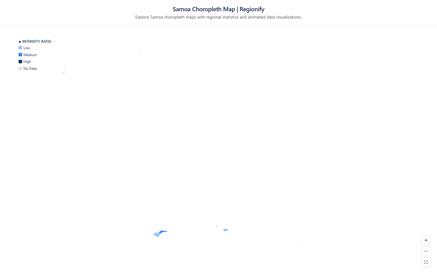
Choropleth Map of Samoa (Sāmoa)
Regionify is a choropleth map tool that turns regional data into clear, publish-ready visualizations. Color administrative divisions by any numeric metric — GDP per capita, population density, election results, or your own dataset — then export as PNG, SVG, animated GIF, or an embeddable iframe. No GIS expertise required.
Create your map of SamoaWhat you can create for Samoa with Regionify
From static maps to animated time-series — every format, ready to export.
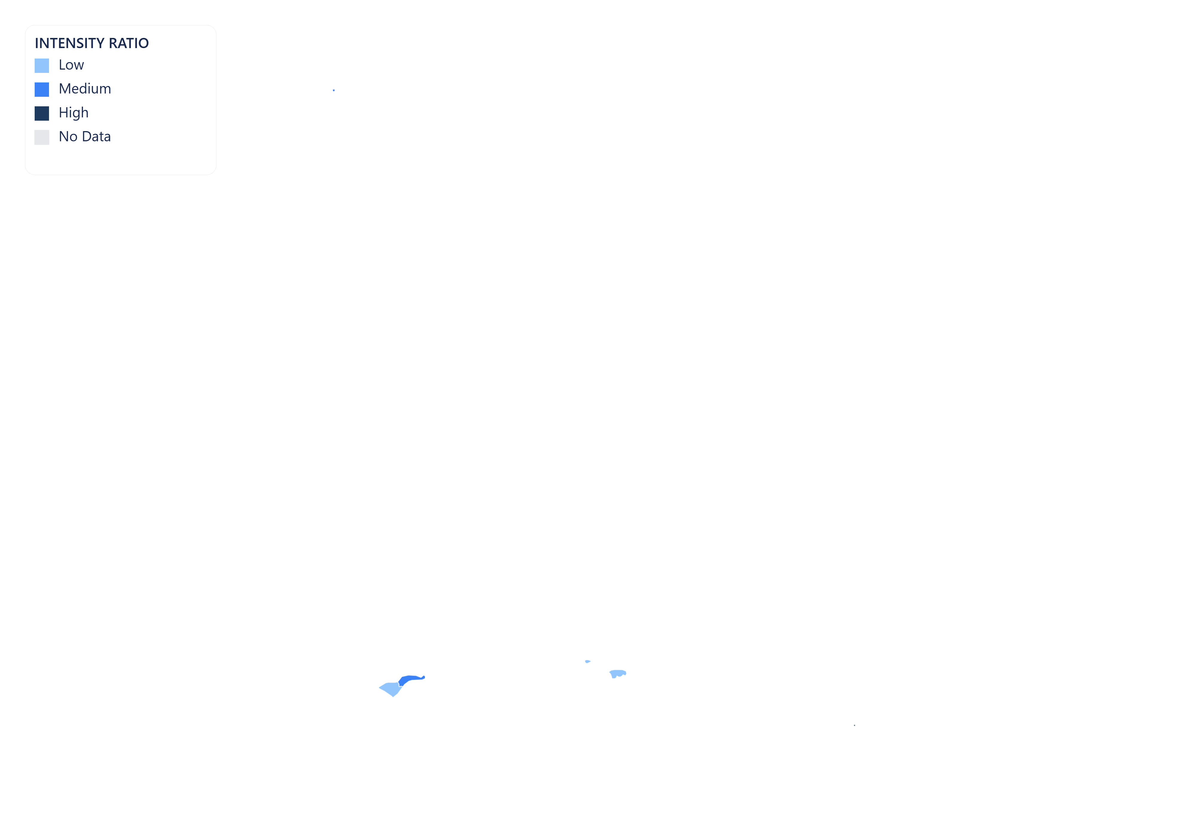
Samoa choropleth map
Visualize Samoa's 11 districts as a choropleth map. Color regions by any numeric dataset — population, GDP, unemployment, health outcomes, and more. Export as PNG, JPEG, or PDF.
Vector SVG export
Export your Samoa map as a scalable vector graphic (SVG). Ideal for print publications, editorial illustrations, and web use — scales to any resolution without quality loss.

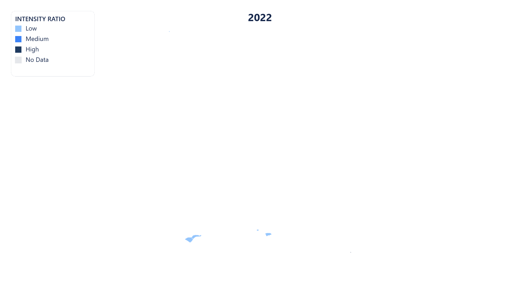
Animated GIF
Bring your Samoa data to life. Import historical time-series data and export a looping animated GIF showing how regional values changed over time.
MP4 video export
Export your Samoa time-series map as an MP4 video. Perfect for presentations, reports, and social media posts where motion communicates change more clearly than static images.
Public share page
Share your Samoa choropleth map with a public link. Anyone with the URL can view the full interactive map — no account or login required.
Embeddable iframe
Embed your Samoa choropleth map anywhere with a single line of HTML. The iframe stays live — viewers always see the latest version of your map, no re-publishing needed.
AI-powered data import for Samoa maps
No spreadsheet? No problem. Regionify's AI Agent turns a plain-text description or raw pasted data into a ready-to-visualize dataset in seconds.
AI Generator
Generate Samoa data from a prompt
Describe the dataset you need in plain English — for example "GDP per capita of Samoa's 11 districts in 2023" or "election results by districts" — and the AI generates a plausible, structured dataset that maps directly onto Samoa's administrative boundaries. Edit any values in the table view before saving.
- ✓ Works for population, GDP, health, election, and custom metrics
- ✓ Supports time-series prompts for animated maps
- ✓ Output pre-matched to Samoa's 11 districts
AI Parser
Clean and import messy Samoa data
Paste raw text, a copied Wikipedia table, or an unstructured CSV with regional figures for Samoa. The AI parser normalises region names, strips noise, resolves mismatched spelling across Samoa's districts, and outputs a clean id–label–value table ready to visualise.
- ✓ Handles inconsistent or misspelled districts names
- ✓ Auto-detects time columns for historical data
- ✓ Streams results in real time as AI processes
AI Agent is available on the Chronographer plan.
Districts of Samoa
- A'ana
- Aiga-i-le-Tai
- Atua
- Fa'asaleleaga
- Gaga'emauga
- Gagaifomauga
- Palauli
- Satupa'itea
- Tuamasaga
- Va'a-o-Fonoti
- Vaisigano
Build your own Samoa choropleth map — free
Upload any dataset, color Samoa's districts by any numeric metric, and export as PNG, SVG, GIF, or MP4. No design skills required — start in seconds, publish anywhere.